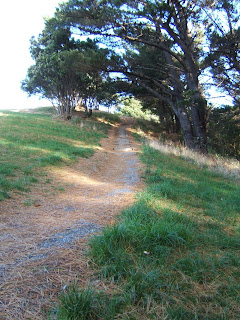
 As promised, here are pictures of our hike through the Town Belt above Mt. Victoria at the end of May. The first plan for Wellington - drawn in 1840 - shows land for public enjoyment that was not to be built on. The Town Belt – of 1061 acres - was granted to the city of Wellington in 1873 as a public recreation ground for Wellington residents. Wellington City Council has held and managed the land since.
These pictures were taken from across town at my office; they show just how high the Town Belt is above the city and Mt. Victoria:


The park sits at the top of Majoribanks Street.
The Town Belt is so big, for the first half of our hike, we had no idea a marathon was going on in the same park until we came across some runners! We had only come across a couple of other people until we came to this clearing.
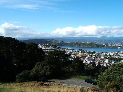
We hiked up to the top of a hill -


As well as the hills on the other side of bay -


A closer view of Lyall Bay and the airport (yeah, that's that strip of pavement between the two bodies of water):


We hiked back towards Mt. Vic (and away from Hataitai) and even higher and finally made it to the top of the temporary Mt. Victoria lookout (they are redoing the official one complete with toilets):


More views from the top:


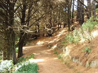
And now we hike down!

Back to the field where we started, and on down Majoribanks to our apartment. Whew!


1 comment:
Just to drop by and say hi!
Post a Comment